
- This event has passed.
Field campaign 3 –Bihor field campaign
May 4 @ 8:00 am - May 9 @ 5:00 pm
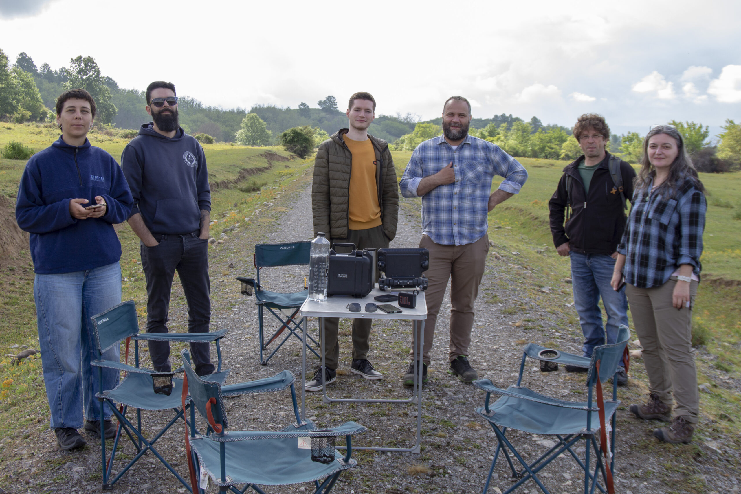
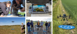
Between 4–9 May, the UC4 team of the ACCELERATE project conducted a non-invasive archaeological survey campaign in Bihor County, Romania, documenting six archaeological sites using advanced airborne technologies for cultural heritage research. Using UAV platforms equipped with LiDAR and thermal sensors, the team collected geospatial data to identify, map, and analyze archaeological remains hidden beneath vegetation or difficult to detect from the ground.The campaign focused on both previously known sites that could no longer be accurately relocated and areas with high archaeological potential that remain poorly documented. The collected data will support high-resolution terrain models, microtopographic analyses, and interdisciplinary studies for the investigation and protection of archaeological heritage.The campaign was carried out through the collaboration of specialists from Institutul Național al Patrimoniului, University of Exeter, ERA Arqueologia, and Harokopio University of Athens.Through these activities, the ACCELERATE project continues to advance innovative methods for digital documentation and spatial analysis in cultural heritage research, management, and preservation.